Mount Meru, rising to 4,566 meters, is Tanzania’s second-highest mountain and one of the most scenic trekking destinations in East Africa. Although the climb is considered less technical than Mount Kilimanjaro, understanding the Mount Meru trail map and proper navigation is essential for safety and success. The mountain’s terrain, wildlife presence, and changing weather demand careful route planning and expert guidance.
This guide explains the Mount Meru trail layout, key landmarks, and essential navigation tips for anyone planning to hike this beautiful volcanic peak.
Overview of the Mount Meru Trail
Mount Meru has one official trekking route, the Momella Route, which is strictly regulated due to its location inside Arusha National Park. All climbers must follow this established trail under the supervision of a licensed guide and an armed ranger.
The trail is clearly defined and includes:
- Designated entry and exit points
- Marked hiking paths
- Official mountain huts
- Known water refill locations
This controlled system ensures both hiker safety and environmental conservation.
Key Points on the Mount Meru Trail Map
Momella Gate (Starting Point)
The trek begins at Momella Gate, where permits are checked and the ranger joins the group. The trail starts gently through open grassland and forest areas rich in wildlife.
Miriakamba Hut (2,500 m)
This is the first overnight stop and an important navigation landmark. Trails around this area include forest paths and short acclimatization walks.
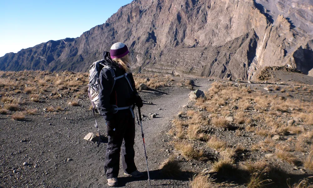
Saddle Hut (3,500 m)
Located above the tree line, Saddle Hut sits between Mount Meru and Little Meru. It serves as the base for the summit attempt and a key reference point on the trail map.
Socialist Peak (4,566 m)
The summit of Mount Meru lies along a narrow volcanic ridge. The trail here is steeper and more exposed, making navigation and focus especially important.
Trail Characteristics and Terrain
The Mount Meru trail passes through several ecological zones:
- Lower forest trails with wildlife and shaded paths
- Montane forest and moorland with steeper ascents
- Alpine and volcanic terrain near the summit
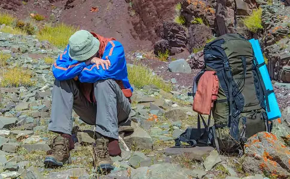
While the path is well established, fog, darkness during summit night, and weather changes can reduce visibility.
Why Navigation on Mount Meru Requires a Guide
Even though the route is established, independent navigation is not permitted. Guides are required because they:
- Know safe pacing and rest points
- Manage wildlife encounters
- Monitor weather conditions
- Navigate safely during low visibility
- Respond quickly in emergencies
Navigation on summit night begins around midnight, making professional guidance essential.
Essential Navigation Tips for Mount Meru Climbers
Follow the Official Trail at All Times
Never leave the marked path. Off-trail hiking increases the risk of wildlife encounters and environmental damage.
Pay Attention to Landmarks
Learn key reference points such as huts, ridges, and crater views. This improves awareness and confidence on the trail.
Prepare for Low Visibility
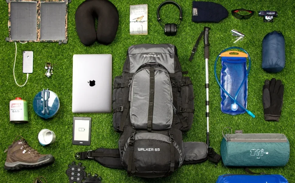
Fog, rain, or darkness can affect visibility. Carry:
- A reliable headlamp
- Spare batteries
- Warm layers
Use Trekking Poles
Poles improve balance on steep or loose sections, especially during descent.
Trust Your Guide’s Decisions
Guides may adjust pacing or turnaround times based on weather, health, or trail conditions. These decisions prioritize safety.
Weather and Navigation Challenges
Weather on Mount Meru can change quickly:
- Afternoon clouds may reduce visibility
- Rain can make forest paths slippery
- Strong winds occur near the summit
Proper navigation accounts for these factors, especially during summit night and descent.
Safety and Conservation Through Controlled Navigation
The single-route system allows park authorities to:
- Monitor hiker movement
- Respond quickly to emergencies
- Protect fragile ecosystems
- Manage wildlife interactions
Following navigation rules supports both safety and conservation.
Trek Mount Meru Safely With Tanzania Hiking
Tanzania Hiking provides professionally guided Mount Meru treks, ensuring accurate navigation, proper pacing, and full compliance with park regulations.
- Email: info@tanzaniahiking.com
- WhatsApp: +255 752 213 715 / +255 754 557 877
Request a Quote for Your Mount Meru Trek
Planning your Mount Meru adventure?
Fill out the quote request form below, and our team will prepare a custom trekking itinerary, including route guidance, acclimatization planning, and safety support.