Tanzania Hiking Guide: Mount Kilimanjaro Routes Comparison Chart
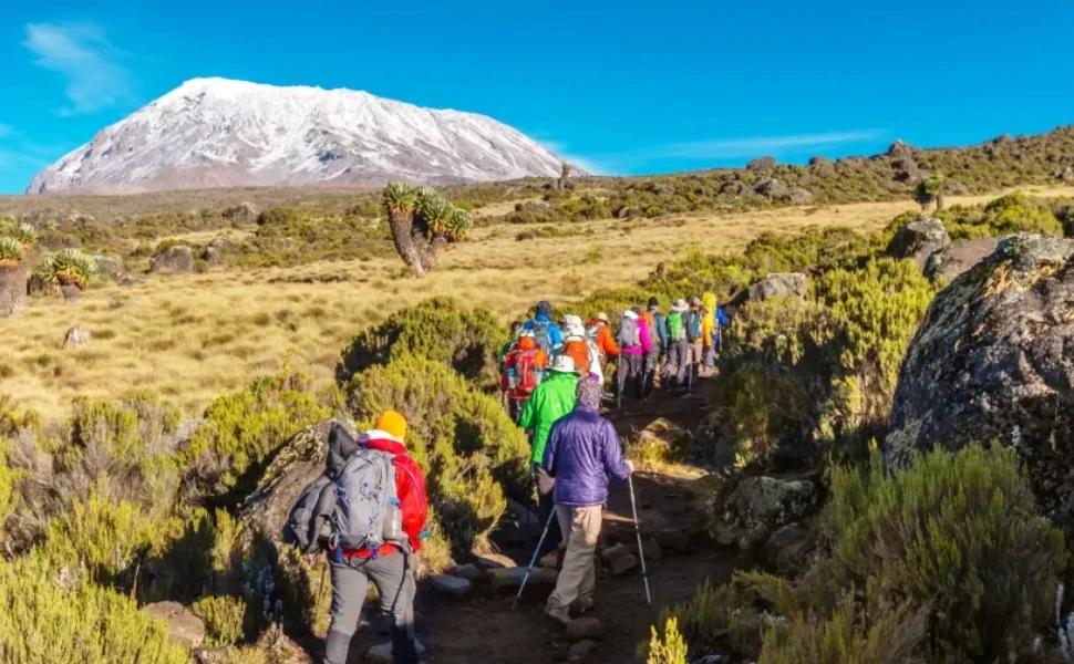
Mount Kilimanjaro is the crown jewel of Tanzania hiking adventures. Standing at 5,895 meters, it is Africa’s highest mountain and one of the most accessible high-altitude climbs in the world. While no technical climbing skills are required, choosing the right route is one of the most important decisions when planning your Kilimanjaro trek.
This guide provides a clear comparison of Kilimanjaro routes, helping hikers understand the differences in difficulty, scenery, success rates, and overall experience.
Why Compare Mount Kilimanjaro Routes?
Each Kilimanjaro route offers a unique hiking experience. Some prioritize comfort, others focus on acclimatization or solitude. Comparing routes allows trekkers to:
- Improve summit success chances
- Match the route to fitness and experience levels
- Understand time and budget requirements
- Choose the most scenic or least crowded option
A well-informed route choice is essential for a safe and enjoyable Tanzania hiking experience.
Overview of Main Mount Kilimanjaro Routes
There are seven official routes to climb Mount Kilimanjaro:
- Machame
- Marangu
- Lemosho
- Rongai
- Shira
- Umbwe
- Northern Circuit
Each varies in length, popularity, and acclimatization profile.
Mount Kilimanjaro Routes Comparison Chart
| Route Name | Days | Difficulty | Scenery | Crowd Level | Success Rate |
|---|---|---|---|---|---|
| Machame | 6–7 | Moderate–Challenging | Excellent | High | High |
| Marangu | 5–6 | Moderate | Good | Very High | Moderate |
| Lemosho | 7–8 | Moderate | Outstanding | Low–Medium | Very High |
| Rongai | 6–7 | Moderate | Good | Low | High |
| Shira | 6–7 | Moderate | Very Good | Medium | Moderate |
| Umbwe | 5–6 | Very Challenging | Limited | Very Low | Low |
| Northern Circuit | 8–9 | Moderate | Outstanding | Very Low | Highest |
Note: Success rates improve with longer itineraries and proper acclimatization.
Best Kilimanjaro Routes for Different Types of Hikers
Best Overall Route: Machame Route
The Machame Route is the most popular choice for Tanzania hiking enthusiasts. It offers excellent scenery, a good acclimatization profile, and strong summit success rates. While busier than some routes, it remains a top recommendation for first-time climbers.
Best for Acclimatization: Northern Circuit Route
The Northern Circuit is the longest route on Kilimanjaro, providing gradual altitude gain and the highest success rate. It is ideal for hikers who prioritize safety and scenic solitude over speed.
Best Scenic Route: Lemosho Route
Lemosho is widely regarded as the most beautiful route. It begins on the western side of the mountain and crosses diverse landscapes, from rainforest to alpine desert.
Best Budget and Comfort Option: Marangu Route
Marangu is the only route with hut accommodation instead of camping. Although it has lower success rates due to rapid ascent, it appeals to hikers seeking basic comfort and a shorter itinerary.
Best for Experienced Climbers: Umbwe Route
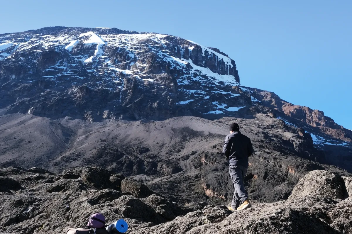
Umbwe is the steepest and most direct route. It offers limited acclimatization and is recommended only for experienced trekkers who are confident in their fitness and altitude tolerance.
Choosing the Right Kilimanjaro Route for Your Tanzania Hiking Trip
When selecting a route, consider:
- Available time
- Previous high-altitude experience
- Desired level of comfort
- Budget
- Crowd preference
Best Time to Hike Mount Kilimanjaro
The best seasons for Tanzania hiking on Kilimanjaro are:
- January to March – warmer temperatures, fewer crowds
- June to October – cooler and drier, peak climbing season
Final Thoughts on Kilimanjaro Routes Comparison
A detailed Kilimanjaro routes comparison chart makes it easier to choose the right path to Uhuru Peak. While Machame and Lemosho remain top choices, the best route ultimately depends on your goals, time, and hiking experience.
With proper planning and the right route, Tanzania hiking on Mount Kilimanjaro becomes a life-changing adventure and a summit achievement you’ll never forget.