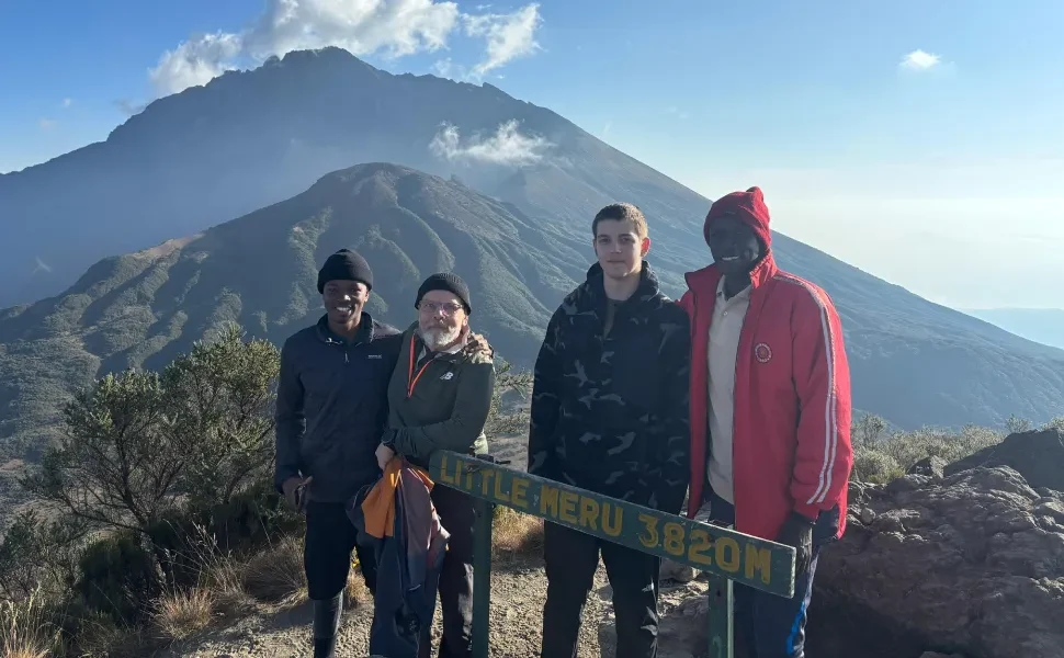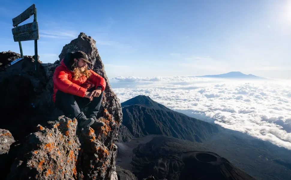
Mount Meru in northern Tanzania is one of the most rewarding trekking destinations in East Africa. From the lush forests at Momella Gate to the volcanic ridges near Socialist Peak, every stage of the climb presents unique challenges and photo‑worthy views. One of the easiest ways to stay safe, informed, and engaged on your Mount Meru adventure is to use hiking apps designed for navigation, safety, and real‑time data.
Here’s a guide to the best hiking apps to use on Mount Meru whether you’re a seasoned trekker or a first‑time adventurer.
1. Offline GPS and Navigation Apps
Reliable navigation on Mount Meru is essential. Because coverage and cell signal can be limited, it’s important to use apps that work offline.
AllTrails
AllTrails offers:
- Offline trail maps
- GPS navigation
- Route downloads before your trek
- Elevation profiles and distance tracking
Before setting out, download the Mount Meru trail on AllTrails so you can track your progress even without internet.
Gaia GPS
Gaia GPS is favored by outdoor enthusiasts for:
- Detailed topographic maps
- Offline map layers
- Custom route planning and waypoints
- Compass and tracking tools
This app helps keep orientation and elevation data at your fingertips.
2. Altitude and Weather Apps
Weather and altitude shifts can affect your Mount Meru trek, especially on summit night. These apps help you prepare and adapt.
My Altitude
My Altitude displays:
- Real‑time altitude based on GPS
- Latitude and longitude
- Atmospheric pressure readings
This app can help you monitor your altitude gain, which is useful for pacing and acclimatization.
Weather Apps (e.g., Weather Underground or AccuWeather)
Reliable weather data helps you:
- Forecast clouds, rain, and sun during your trek
- Plan sunrise and sunset photos
- Determine safe windows for summit attempts
Download area forecasts before your trek, especially for summit night.
3. Safety and Emergency Apps
Safety should be a priority on any high‑altitude trek. These apps provide support even without full connectivity.
Offline Survival Manual Apps
Apps like Offline Survival Manual give:
- First aid tips
- Hypothermia and altitude sickness guidance
- Emergency signaling techniques
Having practical survival tips on your phone gives added confidence on the trail.
First Aid by Red Cross
This offline app includes:
- Step‑by‑step first aid tutorials
- Emergency procedures
- Guidance for altitude sickness symptoms
Even if guides are present, knowing basic first aid helps trekkers support themselves responsibly.
4. Photography and Storytelling Apps
Mount Meru is breathtakingly scenic. These apps help you capture and share your journey.
Lightroom Mobile
Adobe Lightroom allows you to:
- Edit photos with professional tools
- Correct exposure and color on the go
- Save presets for consistent looks
Editing your sunrise and summit shots in Lightroom elevates your storytelling.
Instagram or TikTok
While not trekking‑specific, these social apps help you:
- Share short highlights in real time
- Post reels and stories from scenic points
- Tag locations and inspire friends
Make sure to download templates and plan data usage before arriving at high elevations.
5. Fitness and Pacing Apps
Tracking your physical condition helps you adapt while hiking.
Strava
Strava tracks:
- Distance and pace
- Elevation gain
- Split times
- Heart rate (paired with compatible devices)
These metrics help you understand your performance and improve future hikes.
MapMyHike
MapMyHike offers:
- GPS tracking
- Progress stats
- Offline routes
- Engaging challenges and goals
Use this app to track your full Mount Meru journey from start to summit.
Tips for Using Hiking Apps on Mount Meru
- Download maps and data before your trek when you still have Wi‑Fi.
- Use offline mode to avoid reliance on mobile coverage.
- Carry a power bank to keep devices charged on summit night.
- Share maps with your guide and trekking partner for added safety.
With the right apps, your Mount Meru trek becomes safer, more navigable, and more fun to document.
Plan Your Mount Meru Trek With Tanzania Hiking
Tanzania Hiking provides professional guidance, acclimatization planning, and logistics for Mount Meru treks with safety in mind. Our team supports trekkers in choosing the best tools, maps, and apps to enhance their experience from Momella Gate to the summit.
- Email: info@tanzaniahiking.com
- WhatsApp: +255 752 213 715 / +255 754 557 877
Request a Quote for Your Mount Meru Adventure
Ready to hike Mount Meru with confidence and the best digital tools?
Fill out the request‑a‑quote form below, and our team will design a custom itinerary that includes guide support, app recommendations, acclimatization time, and scenic opportunities.